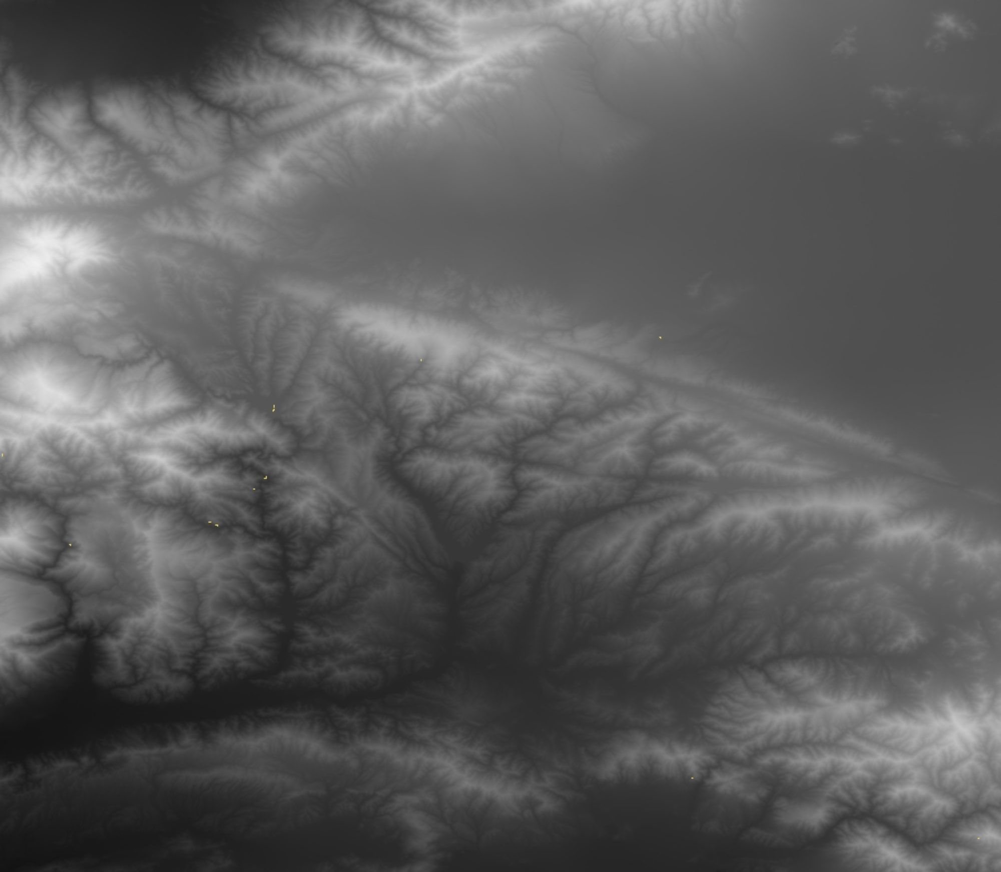
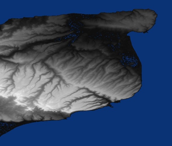
 Digital Elevation Models are the height maps of the Earth taken by Satellites. This data was produced using the Shuttle Radar Topography Mission (SRTM)
The STRM3 data is available for most of the world while the SRTM1 data is available for most of the USA. The SRTM1 data provides finer resolution than the SRTM3.
The basic quick start and topography docs are OK but working code is always easier to use.
I have included Sample Scala to download the entire world wide set of SRTM3 files along with the SRTM1 files for the USA. There is also sample Scala code to read the .hgt files and convert them into grey scale renderings. Continue reading “DEM – Digital Elevation Model work with Scala”